2025年欧洲国际大地测量学和地球信息技术展览会
-
日期:2025-10-07~2025-10-09
-
城市:法兰克福
-
地址:法兰克福国际展览中心
-
展馆:法兰克福国际展览中心
-
主办:德国HINTE展览有限公司
-

欧洲国际大地测量学和地球信息技术展览会(INTERGEO)是世界上最大的大地测量,地理信息和土地管理的交流平台,一年一届,在欧洲各城市轮流举行。INTERGEO是覆盖了整个行业,汇聚了广度和深度、当前和前瞻性的产品,技术和系统解决方案,是世界上唯一完整范围的展览事件。该展览及会议涵盖所有的作物,沿着整个价值增值链的关键趋势 - 从地缘为基础的信息调查和数据处理,集成的应用程序。因此,它是业内最大,最重要的展览会议。
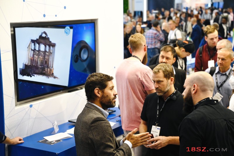
展品范围涵盖了各方面的测量,地理信息系统,遥感与摄影测量,以及互补的解决方案和共性技术。此外INTERGEO是一个快速发展的创新领域的完美的展示平台。这些未来的技术展示他们的产品和服务组合的OSGeo公园以及在为初创创新园的提供者。 这也是一个最新的创业发展的平台: 使用的传感器系统,以简化复杂的数据采集成功,街车的三维社区记录 - 初步发展,新的或先进的应用,3D应用,卫星/定位服务,对地理网络解决方案的趋势,特别是在重要方面的视角。随着新行业的重要课题,提出了发展趋势及媒体论坛从地缘相关行业的最新需求和解决方案。趋势说明,产品介绍和现场演示,提供了创新和未来市场发展的平台,并强调独特的INTERGEO空间:知识与行动的地球。
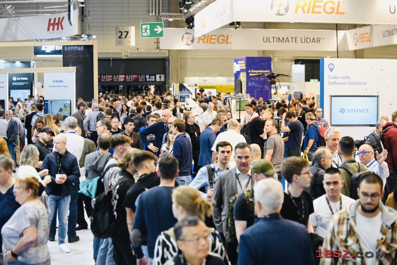
今天大地测量学和地球信息技术展览会提供了决策,涉及政治,福利和商业事务的基础。作为一个充满活力的国际市场的支点,INTERGEO与所有区域的链接,为创新的动力和推动在新的业务领域地缘为基础的解决方案的集成了。
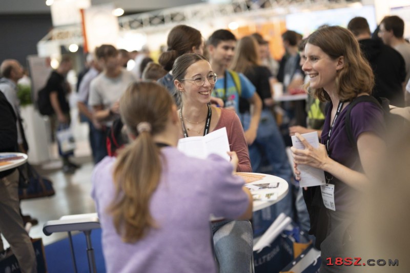
INTERGEO展的主题:云计算,测量学,摄影测量,GNSS测量系统,无人机,大数据分析,GIS解决方案,激光扫描,建筑信息建模(BIM),智慧城市。
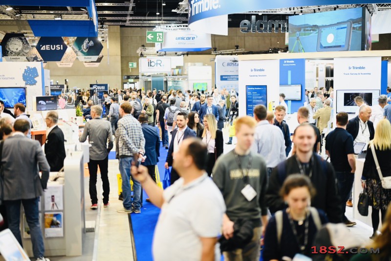
展品范围(Show Products):
大地测量学、地理信息、遥感与摄影、软件、补充解决方案/共性技术、文学/专业媒体、专业发展、专业协会、媒体合作伙伴。

展会报告(Show Reports):
Stuttgart, 26.09.2024. The INTERGEO EXPO and ConFERENCE 2024 successfully concluded today in Stuttgart. The event, centered around geodesy, geoinformation, and land management, presented innovative geodata-based solutions to an international audience over three days, addressing current challenges such as climate change, urbanization, and sustainable land use.
This year’s INTERGEO EXPO and ConFERENCE reaffirmed its role as the leading trade fair in the geospatial industry, thanks to strong international participation and the presentation of innovative solutions. Additionally, it served as the central meeting point for in-depth exchange within the industry, where experts and professionals discussed future-oriented developments and forged valuable contacts.
WITH 579 EXHIBITORS and OVER 17.000 VISITORS FROM 121 COUNTRIES, the EXPO demonstrated its international reach and the industry's resilience despite global economic challenges. The ConFERENCE brought AROUND 800 ATTENDEES FROM 47 COUNTRIES to Stuttgart with its broad program.
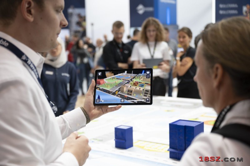
"The numbers show that we are presenting important tools for addressing central societal challenges. Digital twins, based on artificial intelligence (AI), are becoming increasingly important for tackling climate change. They are indispensable planning tools for cities, buildings, transportation, security, and environmental applications," said Prof. Dr. Rudolf Staiger, President of DVW e.V., German Association for Geodesy, Geoinformation, and Land Management. Administrations and organizations worldwide rely on geoinformation as a foundation for forecasts and decisions. Decision-makers use real-time data, GeoAnalytics, Big Data, and AI to help address climate and social crises, Staiger added.
Particular emphasis was placed on earth observation at INTERGEO. "The data from earth observation satellites are essential to understand and manage climate change. There is great demand for predictive models and early warning systems. We are developing tools to help users implement climate protection and adaptation measures. Such tools are crucial not only for fact-based political decisions but also for monitoring their effectiveness," said Godela Roßner, Head of the Earth Observation Department at the German Aerospace Center (DLR), in her keynote speech.
This year's INTERGEO ConFERENCE once again impressed. Christiane Salbach, Managing Director of DVW e.V., said: "In over one hundred lectures, we have shed light on the central challenges of the current transformation phase." The speakers at the ConFERENCE offered high-quality and wide-ranging insights into their fields. The program covered topics such as earth observation, satellite data for climate protection, Building Information Modeling (BIM), the development of cities and rural areas, future-oriented geoinformation management, the use of digital urban twins, and innovative developments in engineering geodesy.
The German Cartographic Society e.V. also held its 72nd German Cartography Congress as part of INTERGEO, seamlessly integrating topics related to AI and smart mapping into the CONFERENCE.
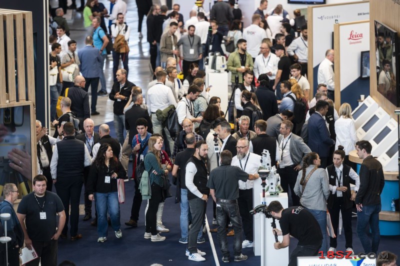
The EXPO stages provided practical insights with a diverse program of lectures and discussions. Topics such as Big Data, GNSS technology, Earth Observation, BIM, AI, talent recruitment, and the civil reconstruction of Ukraine filled the rows to capacity. The Unmanned Systems Stage remains a permanent feature of INTERGEO. once again, the presentations on drone technologies attracted numerous interested parties. From laser scanning solutions and workflows to German and European legislation, the Unmanned Systems Stage offered a wide range of topics and once again became a crowd favorite.
"INTERGEO manages to bring together global challenges and solutions for politics, administration, and society at the highest scientific level while remaining practical," summed up DVW President Staiger. Exhibitors at INTERGEO were also positive in their assessments: "INTERGEO is very important for us," emphasized Ralf Mosler, Leader of BIM Transformation at Autodesk. "For over 20 years, it has been a central meeting point for exchanging ideas on geodesy and geoinformation with experts from around the world. With our presence at this year’s trade fair, we demonstrated how the interaction between BIM, GIS, and AI can be crucial to the development of sustainable and resilient infrastructures."
Jürgen Schomakers, CEO of Esri Germany, added: "Esri and INTERGEO 2024, that's both a duty and a pleasure. We mainly presented our focus topic Digital Twins. INTERGEO is the opportunity for us to explain the wide range of applications, especially with the use of artificial intelligence."
For Hexagon, INTERGEO is also an indispensable event, said Thomas Harring, President of Hexagon's Geosystems Division: "INTERGEO feels like coming home and meeting family and friends: We enjoy connecting with the geodata community and exchanging ideas with customers and partners from around the world. This year, among other things, we introduced Leica iCon trades. For the first time, we bring precise industrial measurement technology to the construction site."
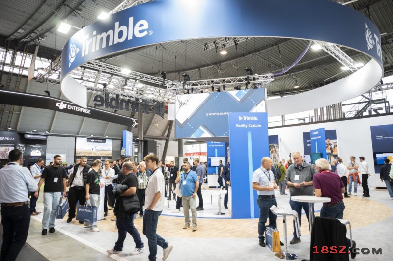
Boris Skopljak, Vice President of the Geospatial Sector at Trimble, was equally enthusiastic: "At INTERGEO, we were not only able to present numerous innovations in the field of reality capture, but above all, effective ways of collaborating in the cloud. We are leaving Stuttgart inspired by many stimulating conversations and are already looking forward to the reunion of the geo-community in Frankfurt for INTERGEO 2025."
Olaf Freier, Chief Strategy Officer of HINTE Expo and Conference GmbH summarized: "once again, I am impressed: INTERGEO is the international meeting place for the who's who of the industry, this is where the Champions League plays. We are only just to tap into the full potential of BIM, Digital Twins, and AI. By 2025, we expect the next major development step, and I am already looking forward to discussing this with the community at INTERGEO from October 7 to 9, 2025, in Frankfurt/Main."
-
姓名:Angela
-
传真:+86 755 23981406
-
邮件:info@18sz.com
-
QQ:1437816437
-
如遇无效、有误、错误信息,烦请您指正纠错
-
2911个月前
-
2911个月前
-
6196个月前
-
14542年前
-
14702年前
-
63332年前


